shapes
Quality building footprint data.
Give context to locations. With building footprints available for POIs worldwide, gain an acute understanding of a place based on AI-powered Shapes.

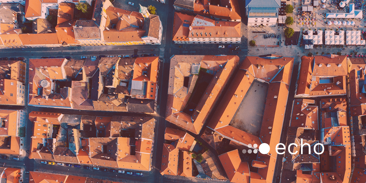
Building footprints without the blurred edges or cut polygons.
We use satellite imagery, image recognition, and human verification to define precise boundaries of any commercial location, globally.

Get accurate geospatial insights with attributes like complete address details, shape type, and area square meter

Understand your surroundings at a highly granular level

Location data powered by machine learning and satellite imagery
AI-powered image recognition.
Shapes harnesses AI, machine learning, and computer vision to transform raw data into actionable insights. With image segmentation, we break down visuals to identify buildings and more, refining models through an iterative process.
Our cutting-edge models learn to recognize and map complex structures, revolutionizing how you visualize the world.

Actionable use cases.
Shapes equips businesses in any sector with a powerful 2D digital map and visual polygons, offering data-driven analysis and insights for strategic decision-making and precision.

Identify building footprints for commercial locations
We transform satellite data into powerful visuals of the physical world around you, allowing you to effectively assess what types of structures are in your area of interest.

Enhance resource management
Minimize the costs associated with manual data annotation with our scalable solution on any geography and automated infrastructure monitoring.

Enrich your POI data
Beyond the granular data of POIs, visualize objects and assess risks based on the types of POIs in a given area, revealing a fuller picture of the world around you.

Expand your business
Choose new store or warehouse locations that meet your business needs according to what surrounds locales.
Resource library.
Make better decisions with Echo.
Empower your business with Echo location intelligence today


